River Thames
Enjoy a stretch of the famous Thames also known to William the Conqueror, Brunel and mammoths
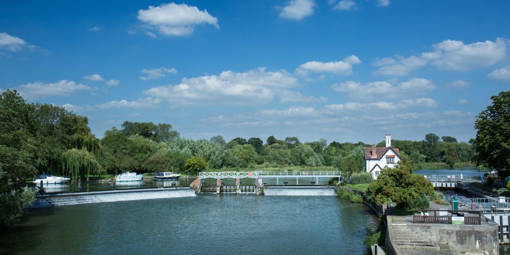
The River Thames is a welcome sight after a long walk or ride across the dry chalk hills and its riverside cafes, pubs and hotels have for many years catered for the weary traveller stopping by. The ‘Goring Gap’ is the narrowest part of the Thames Valley and the shallower points have been used as crossing points by both people and animals for millennia – at Gatehampton Farm, remains of mammoth and reindeer have been found alongside flint hunting tools, suggesting early prehistoric people were ambushing and butchering animals here around 10,000 BC! This useful stretch of river was also a key place to defend against invaders, from the Vikings through to the Nazis. Read on below to find out more….
Banner image: Brunel’s Moulsford Viaduct. Credit: Colin Drake.


Standing on the high ground of Lardon Chase above Streatley in Berkshire, the Goring Gap can be seen as a passageway through the hills with steep sides particularly on the Streatley side of the river. The Thames didn’t always flow this way however – the ‘proto-Thames’ flowed from Oxfordshire via St Albans into East Anglia to reach the North Sea! It was during the Anglian glaciation, around 450,000 years ago, that ice sheets came down as far south as Oxford and this forced water to drain southwards. The Goring Gap was carved out by huge volumes of meltwater surging through cracks in the chalk hills.
Down by the river today, the scenic and historic riverside villages of Goring and Streatley sit opposite each other across the Thames. This stretch of river has long been a popular place for leisure, with the Goring and Streatley Regatta (boat race events) drawing crowds to the riverbanks that apparently rivalled Henley during the 19th century. Whatever activity draws today’s visitors to the river, recent research indicates that time spent in ‘blue spaces‘, in comparison with ‘green spaces’, is particularly good for stress reduction and boosting people’s sense of wellbeing.
As a natural barrier to movement, this stretch of river features fords, causeways, ferries and bridges . Before the first bridge was built in 1837 to link Goring and Streatley, there was a ferry and also a causeway dating back to the Roman period extending from the end of Ferry Lane (downstream of the bridge). Slipways along The Ridgeway at North Stoke and Little Stoke are all that remain of the ferries which crossed the river to Moulsford and Cholsey respectively. Imagine walking along the riverbank to meet the ferryman and seeing wide, flat ferries carrying horse and carts across the river, some of them heavy with harvested corn. There were also fords across the river, including one thought to link up with the historic routeway known as the Fair Mile which connects to The Ridgeway west of Moulsford.
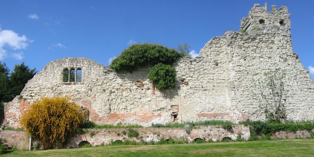
At least from the early Middle Ages, Wallingford was the lowest point on the Thames with an all-season ford and this made it strategically important. King Alfred selected Wallingford as a strategic ‘burh’ to defend against Viking invaders and it grew to the same size as the King’s capital of Winchester. Later in 1066, Wallingford was the crossing point for William the Conqueror leading the Norman invasion and the castle he instructed to be built there became one of the most important and powerful castles in England.
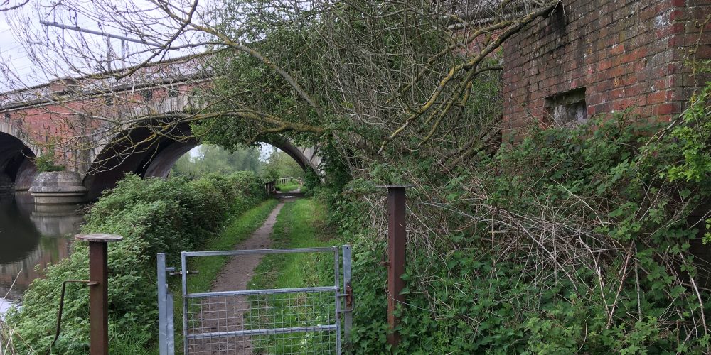
In more recent wartime, the Thames was again a defence line during World War II when pillboxes were built along the river to address concerns that German forces could breach defences on the south coast. The Ridgeway’s pillboxes were part of defensive lines known as General Headquarters (GHQ) Lines – protected inside the pillboxes positioned at strategic locations, the Home Guard could shoot at the advancing enemy. The Thames provided a natural obstacle and so ‘Stop-line Red’ followed the river from Reading to Abingdon and then cut across country towards Bristol. One of the easiest pillboxes to spot lies adjacent to The Ridgeway as it passes under the Moulsford Railway Bridge north of South Stoke in Oxfordshire – see image gallery above.
Known locally as Four Arches, this Grade II* listed structure consists of two parallel bridges or viaducts carrying the London-Bristol railway line (see banner image above). The famous engineer Isambard Kingdom Brunel (1806-1859) led the construction and, in his objective to create a direct and level route, the line crosses the Thames twice in the Goring Gap – at Moulsford and at Gatehampton. The bricks appear to spiral across the water because the bridges are built at a 60 degree angle to the river. On the opposite riverbank, the Thames Path National Trail passes under the bridge.
The Thames Path follows the river for 185 miles from its source in Gloucestershire to the Woolwich foot tunnel in southeast London. It opened in 1996, following the old riverside towpaths wherever possible. Towpaths originated from the Industrial Revolution when horses hauled boats, attached by a rope, upstream. Today, all sorts of boats can be seen on the river and the towpath is just for walkers and sometimes cyclists. However, flood events are increasingly common with climate change and so a diverted route could be the Trail of the future….
Notes: More information about King Alfred and warfare is available in other Top 50 entries (not all Top 50 entries will be available until end of December 2023).
The listing you have clicked on is located on or close to more than one trail. Please select the trail you are interested in below to view the listing.
%buttons%