


Added to your Itinerary Planner below
Distance calculator
Map Filters

Customise your trip with our filters.
Map Filters
Toggle between the options below to show available markers.
General info Equestrian Info Cycling InfoAccommodation
Points of interest
Services
Routes
Accommodation
Points of interest
Transport
Accommodation
Points of interest
Transport
The custom route elevation is created when you use the distance calculator (above) to draw a line.
The custom route elevation is created when you use the distance calculator to draw a line.

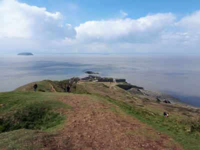
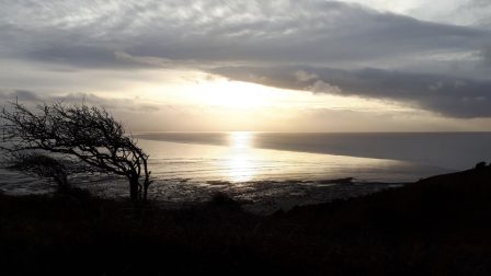
This walk travels the length of Brean Down; a natural pier standing 97m high and offering stunning views across the Bristol Channel to South Wales, north to Weston-super-Mare and south to Exmoor and the Somerset Levels. Its height has made it an ideal site for coastal defences as far back as the Iron Age and in 1862 a Palmerston Fort was built in response to the threat from France and Napoleon III.
The rocky limestone soil on its southern slopes is the perfect habitat for some of our rarest blooms, while the northern slopes offer a dazzling display of Bluebells in Spring.
Distance: 3 miles/4.8km
Duration: 2-2.5 hours
Map: OS Explorer 153: Weston-super-Mare & Bleadon Hill
Grade: Easy to Moderate